In many places, the Trent-Severn Waterway travels along existing rivers and lakes but in some areas, like in Peterborough, a separate canal had to be dug. If the ground was low, the sides of the canal had to be built up with earthen dams.
“If you’re looking, you can definitely see the earth dam is an engineered shoreline, the surface of the water and the ground level is noticeably different. In a lot of cases, the canal is up above ground level,” says Darryl Whitehead of Ontario Waterways Unit, Parks Canada.
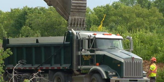
Work on the four dams in the Peterborough area is part of a $600-million investment in the Trent-Severn Waterway. They may look like hills but are vital in keeping the water in the canal and out of people’s backyards.
The 386-kilometre Trent-Severn Waterway runs between Port Severn on Georgian Bay to Trenton on Lake Ontario. It was built in the late 19th century by hand, horse and steam engine. Originally planned to transport lumber from northern Ontario, by the early 20th century, it had become an early tourist route.
“It became a huge business with tourism, with charter boats starting here in Peterborough — Collacutt had a number of them — they’d take them up through the locks to Catchacoma, there were hunt clubs, people would get dropped off on their hunt clubs up that way, and it just flourished from that point on,” says Kim Reid, curator of the Peterborough Museum and Archives.
Work will continue through the winter when the canal can be drained to allow crews access to the lowest parts of the dams. All work is expected to be completed by the spring or summer of 2019.
[ad_2]You can read more of the news on source
 Travelsmart


